About us
The Technical office was founded in 2004 and its head office is located in Lamia, while it operates throughout Greece based on many years of experience and knowledge, thus providing comprehensive and high-level Topographical Engineering services in Topographical, Transportation and Hydraulic Studies, as well as specialized support for Construction Sites of Infrastructure Projects.
- We are addressed to:
- Individuals
- Construction companies
- Colleague engineers, for the purpose of cooperation in the study and construction of private and public projects.
Emphasis is placed on the continuous upgrading of technological equipment, so that our office has the most modern instruments and software.
This enables us to be able to undertake a wide range of tasks and to respond promptly and reliably regardless of the size of the requirements, always keeping to the originally agreed timescales.
The Team
The technical office operates under the direction of Stavros Kontokostas and has a team of fully qualified engineers, with experience in the field and information on technological developments.
The technical office holds study degrees in:
- Topography Surveys (category 16)
- Transportation Project Surveys (category 10)
- Plumbing Works Surveys (category 13)
- Spatial & Regulatory Surveys (category 1)
- Urban Planning & Landscaping Surveys (category 2)
- Environmental Surveys (category 27)
- Stavros Kontokostas
Graduated Agronomist Topographic Engineer of Aristotle University of Thessaloniki
- Konstantinos Mantourlias
Graduated Agronomist Topographic Engineer of Aristotle University of Thessaloniki
- Nikolaos Michalakis
Civil Engineer of Infrastructure Projects
- Dimitrios Papantoniou
Graduated Agronomist Topographic Engineer of Aristotle University of Thessaloniki
OUR OFFICES
Equipment
Our equipment is constantly being modernized in order to meet the particularities and technical needs of our customers' projects.
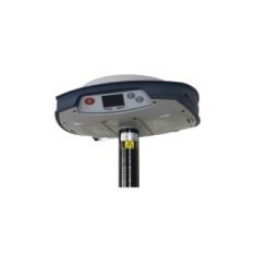
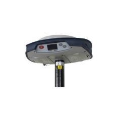
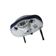
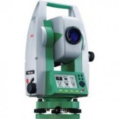
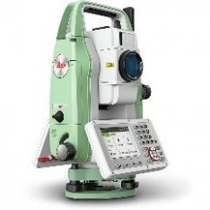
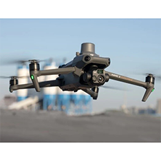
Surveying equipment
Software
- Pix4Dmapper - Complete photogrammetric photo editing software with the ability to produce 3D point cloud, surface model, etc. by Pix4d. Pix4D certified user.
- Survey Office - GPS geodetic solution software.
- Performance 5 - Surveying software.
- Anadelta Tessera - Road construction software.
- HEC-RAS - Stream settlement program.
- HEC-HMS - Hydrology program.
- EPANET - Water supply program.
- HYDROCAD - Water resources management program.
Contact us
Every new collaboration is a bet and a challenge for us. Let's make your project a reality together!


