Aerial Mapping - Aerial photography
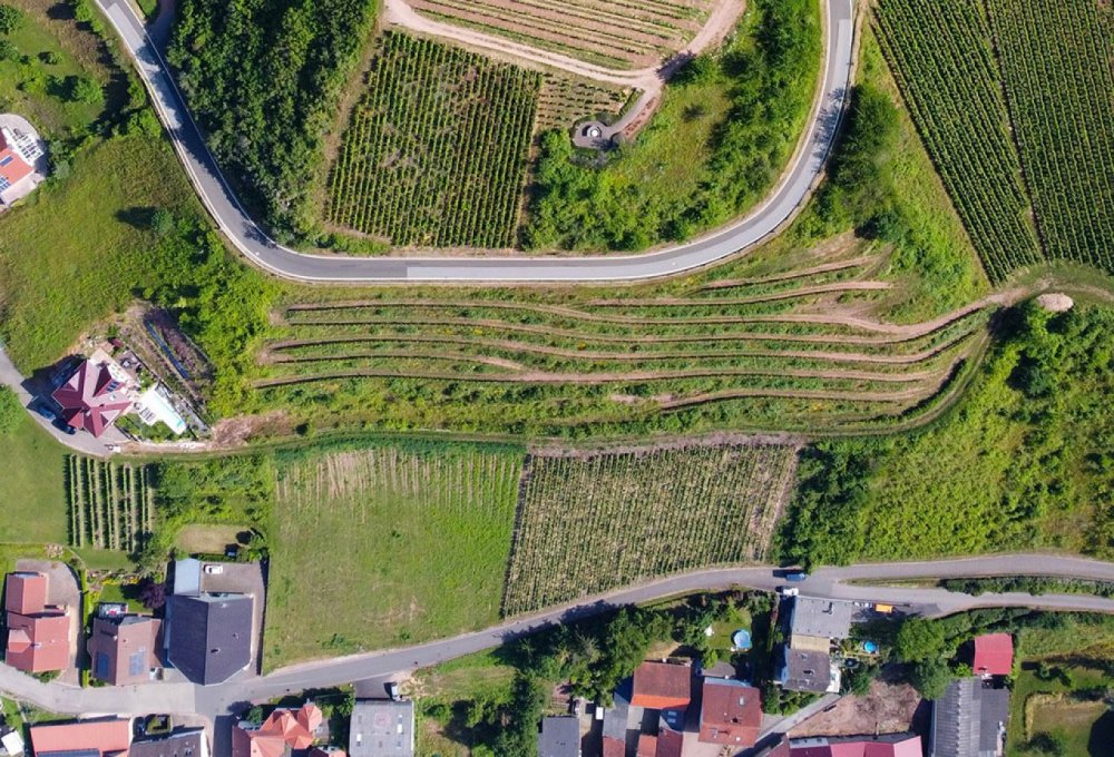
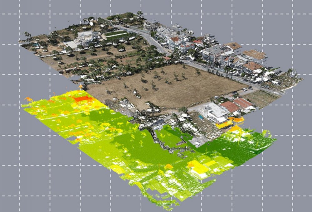
ΕΠΙΣΤΡΟΦΗThe team undertakes photogrammetric surveying using drones to produce orthophoto maps and 3D renderings for various projects.
The flights are performed, either remotely controlled by the operator, or autonomously with computer flight planning. In any case, they are carried out under conditions of maximum security by certified (from the Civil Aviation Service) and experienced operators.
Implementation
- Mobile phone antennas
- Technical projects for renewable energy sources
- Mapping of archaeological sites
- Building facades
- Capture of quarries, beaches, settlements, etc.
- Difficult or inaccessible areas, etc.
- Monitoring the progress of technical projects
- Overview of objects such as high voltage pylons, wind turbine blades, blast furnaces
- Real estate presentations - hotel units - real estate


Manufactured products
- Cloud of points (LAS, LAZ, E57 etc.)
- Orthophotomap
- Digital terrain model
- 3D rendering of the ground surface
Contact us
Every new collaboration is a bet and a challenge for us. Let's make your project a reality together!

