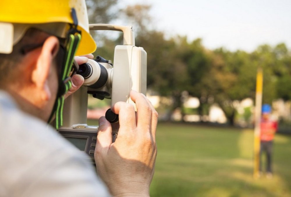
Topographic Surveys
ΕΠΙΣΤΡΟΦΗThe Topographic Study is the basis for any other engineering study and the first time work required for the implementation of any technical project.
The topographical diagram is a comprehensive study that includes the engineer's survey, ground measurements and clerical work. The diagram accurately reflects the current state of the property and its contents, the institutional framework that governs the property is applied (institutional lines, declarations, etc.) while its differentiation is done according to its upcoming use. Its drafting requires specialized knowledge in sciences such as Geodesy, Cartography and Urban Planning Legislation.
Uses of Topographic Chart
- Notarial deed (contracts, transfers, inheritance acceptances, etc.)
- Issuance of building permits
- Issuance of operating permits
- Arbitrary arrangement
- Control of adequacy and buildability of plots or parcels of land
- Demarcation and division of plots of land into horizontal and vertical co-ownership
- Deed of designation of the Forest Service and objections to forest maps
- Determination of coastline - beach lines
- Determination of quarry sites
- Implementation act and corrective implementation act
- Check – Find parcels
- Volumetric measurements, weightings and altimetric studies
- Photogrammetry
- Deeds of encumbrance & apportionment, modification of zoning plans, removal of expropriation and application diagrams
- Land registry declaration


For the preparation of the Topographic Studies, our office uses both the classic terrestrial topographic methods and photogrammetric methods, using Unmanned Aerial Vehicles (UAV).
The backgrounds of the Topographic Studies are delivered absolutely as defined by the applicable legislation.
Additional Surveying Services
- Renewable energy development projects such as wind and solar farms
- Road works
- Urban Studies
- Hydraulic Studies
- Building projects
- Port works
- Applications of studies and Drawings
- Volumetric measurements, weightings and altimetric studies

Contact us
Every new collaboration is a bet and a challenge for us. Let's make your project a reality together!